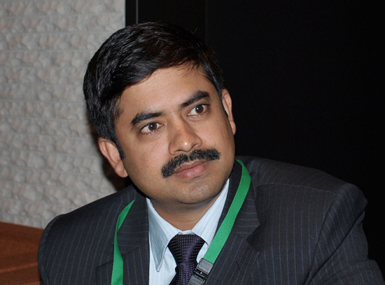
Interview with Dr. Amarnath Giriraj, ICOMOD
November 2010, at APRSAF-17, Melbourne

The APRSAF Secretariat conducted an interview with Dr. Amarnath Giriraj, Remote Sensing Specialist, International Centre for Integrated Mountain Development (ICIMOD), on the occasion of APRSAF-17, in late November 2010, in Melbourne, Australia. Dr. Giriraj is in charge of the areas concerned with disaster and coordination of Sentinel Asia activities.
Q: Could you please tell us about your center briefly?
<Gi> As an intra-government office, ICIMOD is working for eight countries, i.e., Afghanistan, Bangladesh, Bhutan, China, India, Myanmar, Nepal, and Pakistan, to address disaster preparedness in emergencies. In the framework of Sentinel Asia, we are providing rapid response emergency mapping for the HKH(Hindu Kush-Himalayan) region, with ICIMOD being the Data Analysis Node. Additionally, through the support of JAXA, ICIMOD has received the WINDS communication system and regional server, which enables us to quickly access satellite data and deliver data products to the users. So, ICIMOD is well-placed in space-based information analysis for natural disasters.
Q: And tell us something about yourself?
<Gi> I am working as a remote sensing specialist involved in rapid response mapping for any major disaster. So, our idea is to help the users who need space-based information for disasters.
Q: Give us some examples of your activity.

<Gi> This year, we have made six Charter activations(to request the services of the International Disaster Charter, IDC) supported by Sentinel Asia and IDC. One of the recent well-known major disasters is the Pakistan floods, where we have played a major role in quickly getting satellite images from Sentinel Asia. Just after getting the images of the flood inundation, we quickly processed the data and made the maps, i.e., large-scale maps. We sent these maps to Pakistani organizations like SUPARCO (Pakistan Space and Upper Atmosphere Research Commission) as well as PMD (Pakistan Meteorological Department), WWF-Pakistan, and the European Commission.
Q: Do you have any difficulty in obtaining satellite data?
<Gi> It depends on the area. Obtaining satellite data was very well worked in the case of the Pakistan floods. But in Bhutan, we were facing problems in appending the data set in real time. We got the data a few days later from ALOS. But the problem was that the image was completely covered by cloud. Data from microwave satellites were needed. But I understand that in this region, only JAXA has PALSAR on ALOS. And, I'm not sure whether other space agencies are ready to share their data. So, there are always advantages and disadvantages. I will see to it that Sentinel Asia plays a major role; in some cases, problems related to data delay and data usability cause a lot of difficulties, like in the case of optical data and microwave satellite monitoring.
Q: Do you have any expectation for JAXA's activities?

<Gi> In my opinion, JAXA has to focus more on disaster monitoring constellation satellites. Because the Asia-Pacific region is a volatile hot spot of natural disasters in the world, unless you invest in disaster monitoring, you will lose billions of dollars once a disaster occurs. And secondly, I expect JAXA to provide pre-disaster data sets in preparation of disaster preparedness phases. If JAXA provides the data, we can prepare very good end-user maps. So, those are my two requests for supporting our activities.
<Secretariat> Thank you very much.