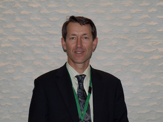
Interview with Dr. Adam Lewis, Geoscience Australia
November 2010, at APRSAF-17, Melbourne

The APRSAF Secretariat conducted an interview with Dr. Adam Lewis, Group Leader, National Earth Observation Group, Geospatial and Earth Monitoring Division, Geoscience Australia (GA), on the occasion of APRSAF-17, in late November 2010, in Melbourne, Australia. Dr. Lewis served as a co-chair at the Earth Observation Working Group (EOWG).
Q: What is your general impression of the Earth Observation Working Group?
<Le> I think the importance of earth observation as part of space technology is increasingly obvious, and that's reflected in the large number of people in the Earth Observation Working Group. The EO working group is a collection of diverse countries with slightly different interests. But increasingly, the interests are converging on the big issues that we all share now, particularly with climate change. Everybody is picking up on the same interests: water, land cover, forests, carbon monitoring, community safety, fires, and earthquakes. We have heard of several talks on glacial lake outburst flooding, which is a new hazard related to climate change and retreating glaciers. So, it's been a very successful meeting so far.
Q: It is the best time to discuss many issues of the climate change with Asian and Pacific countries in this working group.

<Le> APRSAF, as a whole, is a great forum for Asian and Pacific countries to get together, share ideas, understand each other's points of view, and learn about the different ways in which different countries are doing things. And it is also a forum for learning from the industry. We have had several good presentations from the industry on how they are positioning themselves and how they see themselves going forward.
Q: Could you give us your background and your activities in your organization?
<Le> My background is in forestry. I have spent many years working with geographic and remote sensing information for natural resource assessment. I have also worked in marine conservation, for the Great Barrier Reef Marine Park Authority. When I was with the authority, I re-mapped the Great Barrier Reef with Landsat data. Since 2005, I have been running the Earth Observation Group for Geoscience Australia, which was previously the Australian Centre for Remote Sensing.
Q: You've been involved in remote sensing since the very beginning of this technology.
<Le> Yes. One of my colleagues is Peter Woodgate, who is one of the pioneers of mapping forest cover from Landsat imagery. Early on, we didn't have computers that were big enough to handle imagery, and interpretations had to be done manually. So, I've seen a lot of development, and I think we are now entering a very exciting era where we are starting to use very new techniques for analysis. Time series analysis is particularly important, and this is one of the areas that my group is focusing on.
Q: What kind of fields are you personally involved in or focused on now?

<Le> At this time, my group has three priorities for the development of remote sensing applications. One is land-based remote sensing and land cover monitoring, particularly in Australia. Another is marine applications, being able to better map the near-shore area bathymetry. And the third is our work for supporting our department of Climate Change and Energy Efficiency in its International Forest Carbon Initiative.
<Secretariat> Thank you very much.