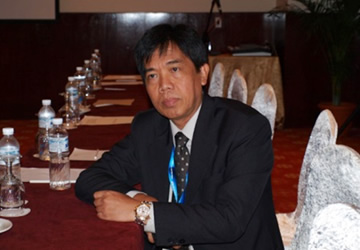
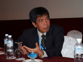
Interview with Mr. Agus Hidayat, Director of the Remote Sensing Application Center, National Institute of Aeronautics and Space (LAPAN), at APRSAF-19 in Kuala Lumpur (Dec 2012)
<Part 1>
The APRSAF Secretariat interviews Mr. Agus Hidayat, M.Sc Ir., Director of the Remote Sensing Application Center, National Institute of Aeronautics and Space (LAPAN), at APRSAF-19 in Kuala Lumpur, Malaysia, in December 2012. Mr. Hidayat is one of the most frequent participating members of APRSAF, and he has attended the Earth Observation Working Group (EO WG) for five years after participating several times in the Space Education and Awareness Working Group (SEA WG).
Secretariat: What is your background and what is your role at LAPAN?

S: Are you involved in SAFE prototyping activities?
No, I am not involved directly in SAFE prototyping, but the activity is under my center. My center always supports LAPAN’s SAFE prototyping projects because we deal with the application of remote sensing.
Although I am not directly involved in the SAFE prototyping projects, I network with international entities for them. I have to network with international and national stakeholders, try to share the results, and then try to make use of the results.
S: In that sense, is APRSAF very important and useful for your work?

Yes, it is very important. LAPAN has been joining APRSAF since 2006. One of the benefits of joining APRSAF is disaster management. When a disaster happens, we need a lot of data to support the government and to deal with the emergency. Sometimes data from LAPAN's ground stations and our archives are not enough to support the emergency response. Through Sentinel Asia, we are able to request earth observation data from data provider nodes. That is why we joined Sentinel Asia. Sentinel Asia makes it easier to have access to more data. In addition, in a certain situation, we can activate the International Charter through Sentinel Asia to obtain even more data. Thus, APRSAF is very useful and helpful for a disaster-prone country like Indonesia.
S: I think Sentinel Asia is a very important product of APRSAF.
Yes, certainly. For your information, besides APRSAF, I also often attend meetings of the United Nations Platform for Space-based Information for Disaster Management and Emergency Response (UN-SPIDER) under the United Nations Office for Outer Space Affairs (UNOOSA). At the meetings, we acknowledge that Sentinel Asia is one of the most operational initiatives because it is very practical and it measures data without any difficulty when disaster strikes a certain country.
S: You have also joined the SAFE activity. Will you also join Climate R3?
Yes, but we will join the GEO-GLAM (The Group on Earth Observations Global Agricultural Monitoring) initiative also under Dr. Shinichi Sobue (EO WG co-chair, JAXA).
To be continued in part 2.